
The Emcore Super-TAC IMU bridges the performance gap between tactical grade and navigation grade inertial measurement units in a small, lightweight robust package.
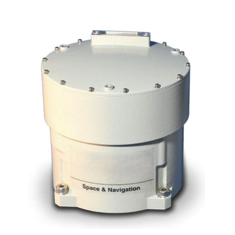
The Emcore SuperTAC IMU bridges the performance gap between tactical-grade and navigation-grade inertial measurement units in a small, lightweight robust package. The SuperTAC IMU integrates : three fiber-optic gyros that exceed tactical-grade performance with three high-accuracy Micro-Electro-Mechanical Systems (MEMS) accelerometers and state-of-the-art support electronics in a single small, lightweight package. This solution addresses the need for superior inertial performance in a tactical-grade package, critical for operation in GPS-denied and contested environments.
The SuperTAC IMU measures change in velocity and angle, utilizing a configurable variable synchronous data link control (SDLC) digital serial bus. The SuperTAC is configured to offer customers the best value solution when designing new systems, as well as provide the flexibility to upgrade existing platforms. The SuperTAC IMU employs state-of-the-art optics with fewer components, providing significant performance and reliability improvements across standard military environments.
Highlights
- Compact and lightweight with high-performance
- Adjustable Bandwidth
- Robust performance with high bandwidth