GEO-FOG 3D DUAL INERTIAL NAVIGATION SYSTEM (INS) (NON-ITAR)
Rugged, High-Accuracy INS and AHRS with Exclusive PIC technology and Embedded GNSS
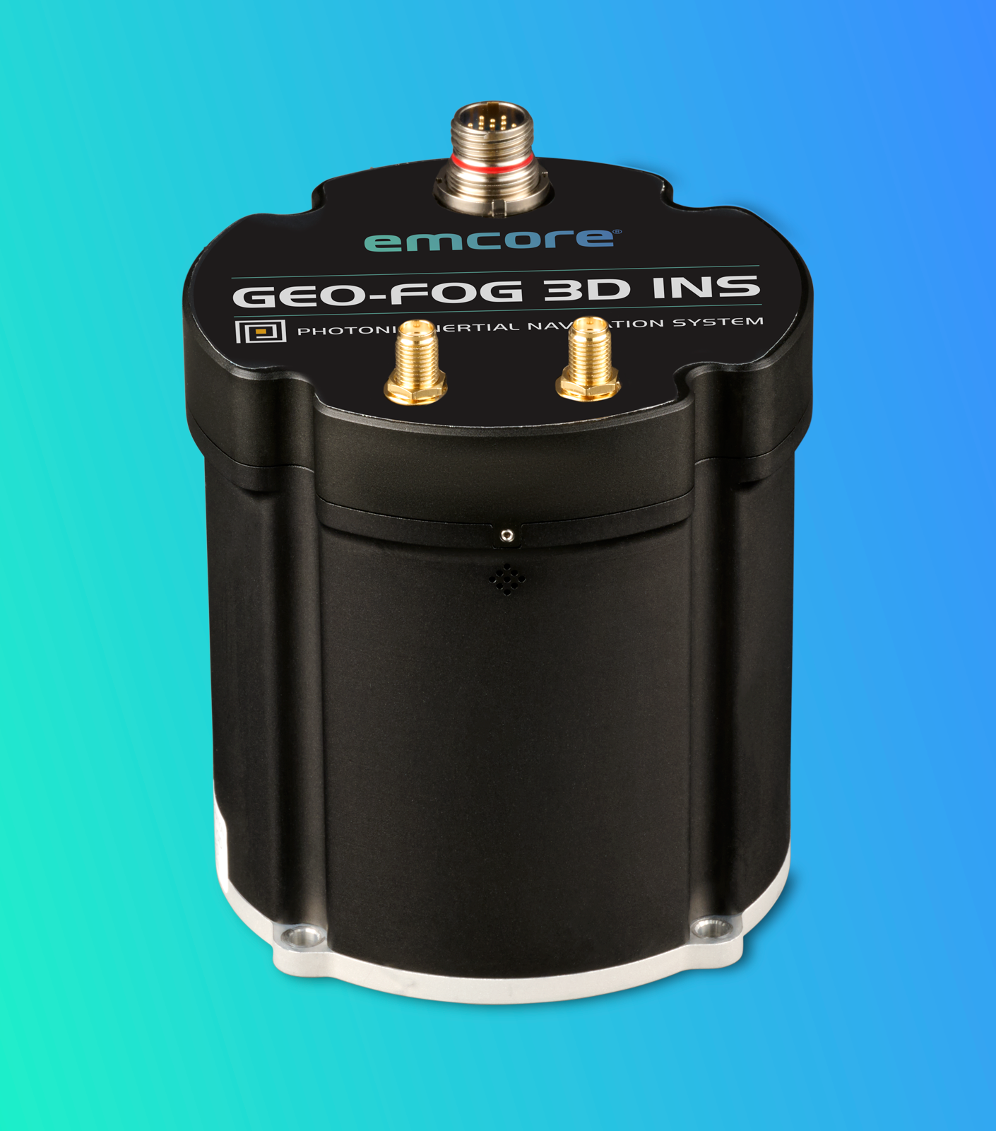
EMCORE’s benchmark fiber optic gyro (FOG)-based P-1750 inertial measurement unit (IMU) is the core processor of the robust GEO-FOG 3D Dual INS. Our exclusive photonic integrated chip (PIC) technology delivers improved reliability and repeatability. The precision non-ITAR GEO-FOG 3D Dual features two GNSS antennas on a fixed PTK baseline to offer increased heading, pitch, and roll accuracy for static and dynamic applications where a single antenna system can be problematic. This dual antenna INS is the best choice for systems requiring heading at start-up or in low dynamic conditions.
A 3D Dual Inertial Navigation System (INS) built around a fiber optic gyroscope (FOG)-based inertial measurement unit (IMU) delivers precise, robust, and reliable navigation performance for demanding applications. At its core, the FOG technology provides highly accurate angular rate measurements with exceptional bias stability, low noise, and excellent resistance to vibration and temperature variations. This ensures superior attitude and heading determination even in dynamic or GNSS-challenged environments.
Complementing the FOG are three high-performance, low-noise MEMS accelerometers that accurately measure linear acceleration along all three axes. These accelerometers enable precise velocity and position estimation while maintaining compact size, low power consumption, and long-term reliability. The integration of a pressure sensor enhances altitude estimation by providing accurate barometric height data, which is especially valuable in aerial and ground-based applications where vertical positioning is critical.
A three-axis magnetometer further improves heading accuracy by providing geomagnetic reference data, particularly useful during low-dynamic conditions or GNSS outages. Together, these sensors are tightly integrated through advanced sensor fusion algorithms that continuously process and optimize navigation outputs.
The system’s dual antenna RTK GNSS receiver significantly enhances positioning accuracy by delivering centimeter-level location data and precise heading information derived from carrier-phase measurements. The dual antenna configuration enables accurate baseline heading determination even when stationary, improving initialization time and overall reliability.
- Innovative sensor fusion algorithm extracts more data than typical Kalman filters
- North-seeking gyrocompass
- Embedded Trimble GNSS receiver
- Provides up to 8 mm positioning accuracy
- Fully supports GPS, GLONASS, GALILEO, and BeiDou
- Developer Kit Available
- Data rate 10x faster than other available systems
- Cutting-edge sensor fusion for dependable, precise navigation in a full array of applications and conditions
- Six degrees of freedom (DoF) IMU with integrated gyros and accelerometers
Product Technology
By combining FOG stability, MEMS efficiency, multi-sensor redundancy, and RTK GNSS precision, the 3D Dual INS ensures continuous, high-accuracy navigation in both GNSS-available and GNSS-denied environments. This makes it ideally suited for a wide range of autonomous, unmanned, and manned platforms, including UAVs, UGVs, marine vessels, robotics systems, and advanced driver-assistance systems, where dependable navigation and control are mission-critical.
Photonic Integrated Chip Technology
EMCORE’s patented photonic integrated chip (PIC) technology reimagines FOG technology by replacing individual fiber components with an innovative integrated planar optic chip. This results in a FOG with PIC Inside™ that’s even more reliable and delivers superior repeatability unit-to-unit. With three of these integrated photonic gyros at its core, the P-1750 IMU enables the GEO-FOG to provide the safe, accurate performance autonomous platforms demand.
DSP Technology
EMCORE’s DSP electronics improve FOG performance in critical areas such as scale factor and bias vs. temperature, scale factor linearity, and maximum input rate. EMCORE’s exclusive DSP design overcomes the limitations of analog signal processing, eliminating temperature-sensitive drift and rotation errors.
GEO•FOG Manager
The GEO•FOG Manager is ideal when integrating EMCORE’s GEO•FOG 3D and GEO•FOG 3D Dual INS.
Developer’s Kit for Rapid Integration
The KVH FOG/IMU Developer’s Kit includes easy-to-use software to accelerate your IMU and FOG integration, development, and interface efforts.
Navigation and control
Unmanned, manned autonomous systems
IMU, GPS/INS integration
Positioning and imaging
Georeferencing and land surveying
Stabilization and orientation